MAJOR PROJECTS
Highland Estates
Cadastral boundary surveys and aerial mapping were developed for the layout and design of a proposed 120 acre rural subdivision located in Weimar, CA.
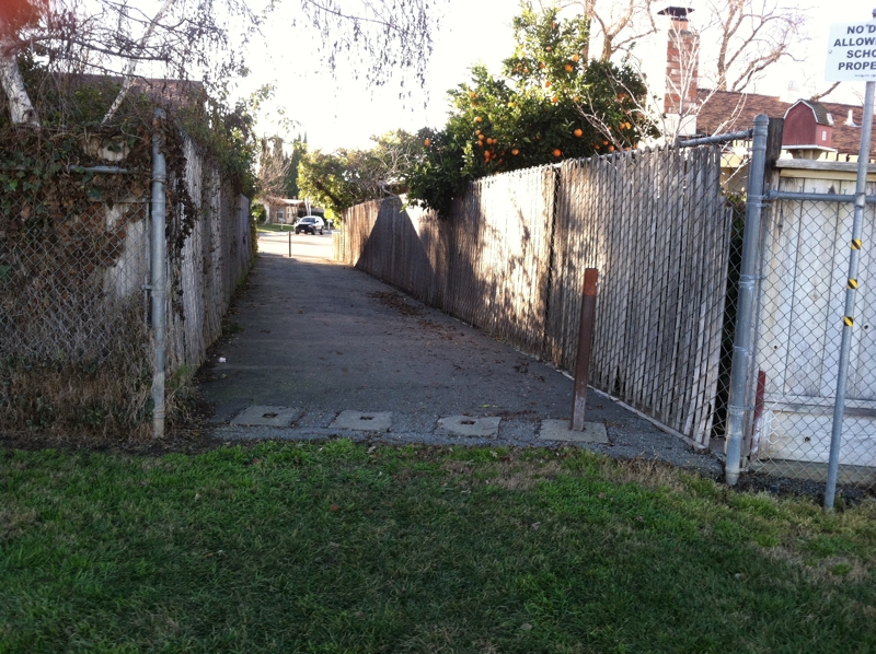
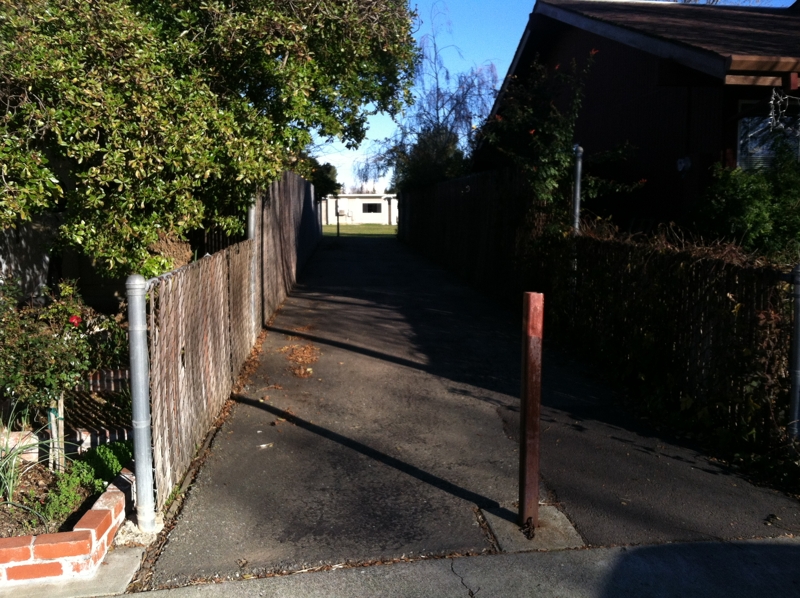
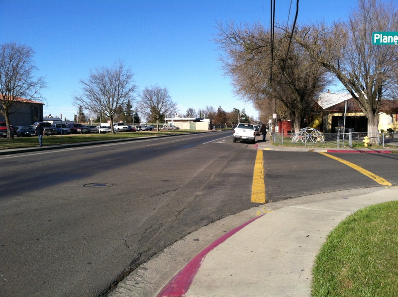
City of Woodland’s ‘Safe Routes to School’
Clear Path provided topographic surveying services to KD Anderson for five sites located in urban / residential areas within the City of Woodland.

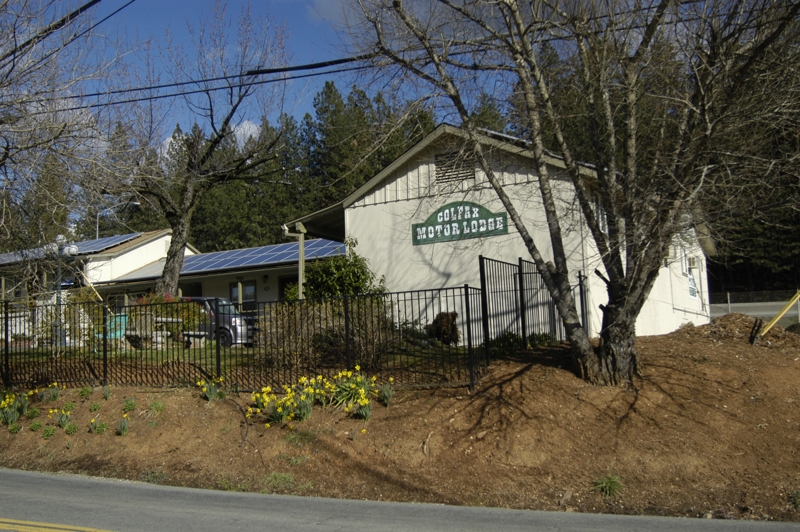
Colfax I&I Mitigation Project
Clear Path provided surveying and topographic mapping services for the sewer system upgrade throughout the City of Colfax.

Kings Beach Commercial Core Project
Clear Path was the lead surveying firm to augment and update existing topographic and boundary surveys for the redevelopment of and improvements to Highway 28 and the commercial core of Kings Beach, CA.

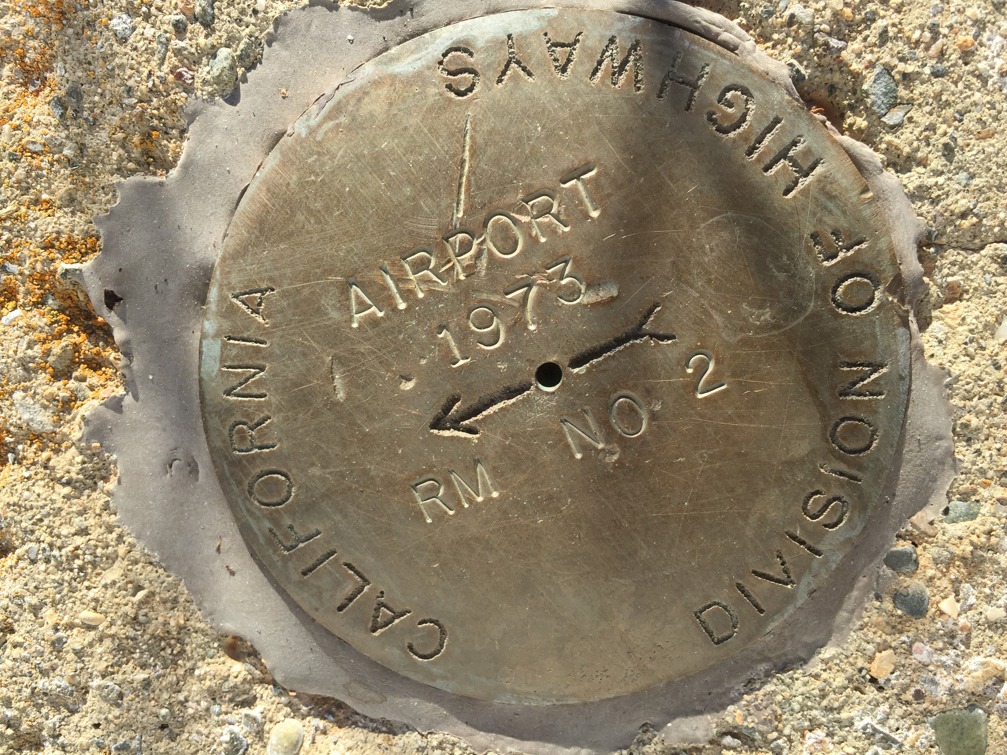
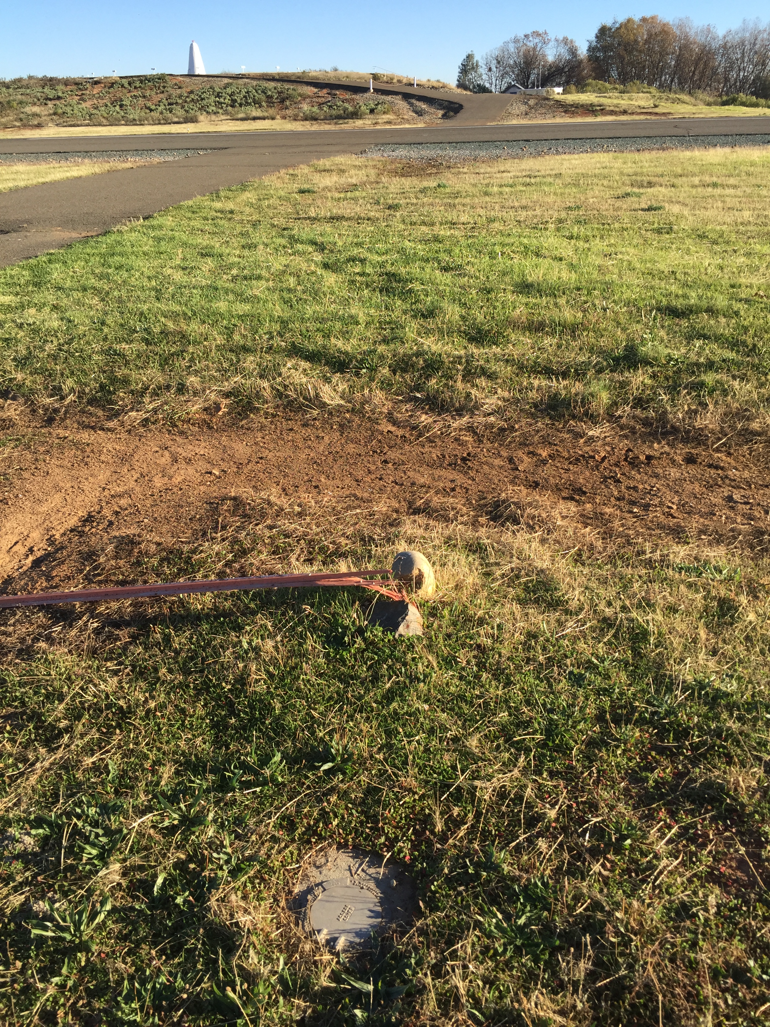
Placerville and Georgetown Airports
Clear Path provided topographic and location services to C&S Engineers for the replacement of existing runway lighting with LED lights for the Placerville Airport. Topographic surveys were performed at Georgetown Airport for the pavement upgrade project designed by C&S.